
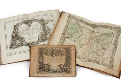
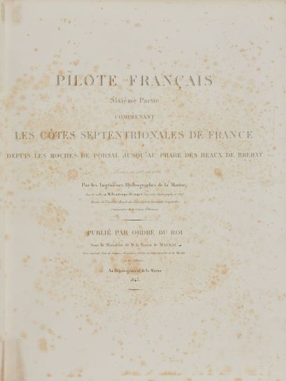
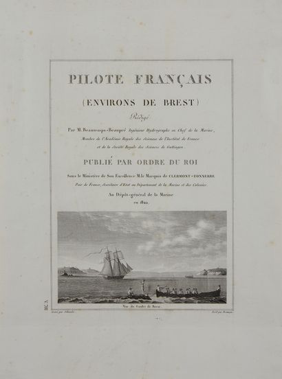
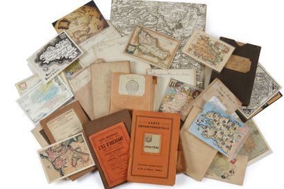
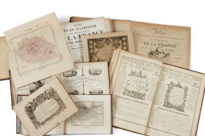
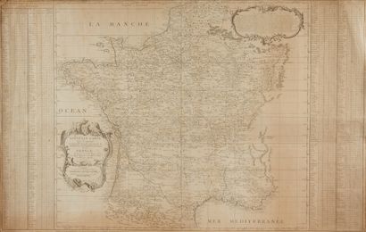
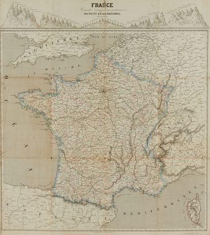
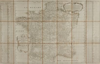
Collection of land and sea maps of Brittany from the 17th, 18th and 19th centuries
vendredi 25 juin 2021 14:00
Salle 3 - Hôtel Drouot , 9, rue Drouot 75009 Paris
Item 1 à 50 on 247


Result :
5 023 EUR
Lot nº1
Estimation :
3000 - 4000
EUR
Result
5 023 EUR
Result with fees


Result :
773 EUR
Lot nº2
Estimation :
500 - 1000
EUR
Result
773 EUR
Result with fees

Result :
1 095 EUR
Lot nº3
Estimation :
500 - 800
EUR
Result
1 095 EUR
Result with fees
Result :
1 417 EUR
Lot nº4
Estimation :
500 - 1000
EUR
Result
1 417 EUR
Result with fees

Result :
1 546 EUR
Lot nº5
Estimation :
1000 - 1500
EUR
Result
1 546 EUR
Result with fees

Result :
708 EUR
Lot nº6
Estimation :
400 - 600
EUR
Result
708 EUR
Result with fees
Result :
193 EUR
Lot nº7
Estimation :
200 - 300
EUR
Result
193 EUR
Result with fees
Lot nº8
Estimation :
200 - 300
EUR

Lot nº9
Estimation :
200 - 300
EUR
Lot nº10
Estimation :
80 - 100
EUR
Result :
902 EUR
Lot nº11
Estimation :
700 - 1500
EUR
Result
902 EUR
Result with fees
Result :
258 EUR
Lot nº12
Estimation :
200 - 300
EUR
Result
258 EUR
Result with fees


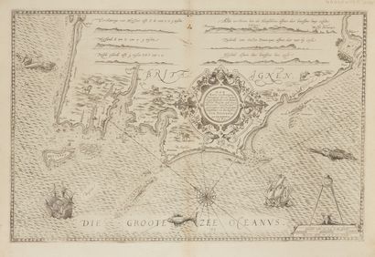
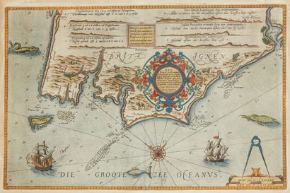
Lot nº13
Estimation :
700 - 1500
EUR
![BORDONE, B. [Parte de la Bertagna]. Venice,...](https://cdn.drouot.com/d/image/lot?size=phare&path=2186/114463/0a99396c7bc20ccf796bb30632c1f7dc)
![BORDONE, B. [Parte de la Bertagna]. Venice,...](https://cdn.drouot.com/d/image/lot?size=phare&path=2186/114463/52b20710974b23c4f96f95f96d9e550d)
Result :
258 EUR
Lot nº14
Estimation :
200 - 300
EUR
Result
258 EUR
Result with fees
Lot nº15
Estimation :
1500 - 2000
EUR
Lot nº16
Estimation :
1500 - 2000
EUR
Result :
5 410 EUR
Lot nº17
Estimation :
1000 - 1500
EUR
Result
5 410 EUR
Result with fees
Result :
361 EUR
Lot nº18
Estimation :
300 - 400
EUR
Result
361 EUR
Result with fees
Result :
1 932 EUR
Lot nº19
Estimation :
1500 - 2000
EUR
Result
1 932 EUR
Result with fees
Lot nº20
Estimation :
1500 - 2000
EUR
Result :
1 674 EUR
Lot nº21
Estimation :
1500 - 2000
EUR
Result
1 674 EUR
Result with fees

Result :
155 EUR
Lot nº22
Estimation :
150 - 200
EUR
Result
155 EUR
Result with fees

Lot nº23
Estimation :
2000 - 3000
EUR
Result :
193 EUR
Lot nº24
Estimation :
200 - 300
EUR
Result
193 EUR
Result with fees
Result :
322 EUR
Lot nº25
Estimation :
200 - 400
EUR
Result
322 EUR
Result with fees

Result :
3 993 EUR
Lot nº26
Estimation :
4000 - 6000
EUR
Result
3 993 EUR
Result with fees
Result :
129 EUR
Lot nº27
Estimation :
100 - 200
EUR
Result
129 EUR
Result with fees

Result :
129 EUR
Lot nº28
Estimation :
100 - 120
EUR
Result
129 EUR
Result with fees
Result :
52 EUR
Lot nº29
Estimation :
50 - 80
EUR
Result
52 EUR
Result with fees
Lot nº30
Estimation :
70 - 100
EUR
Result :
129 EUR
Lot nº31
Estimation :
50 - 100
EUR
Result
129 EUR
Result with fees

Result :
232 EUR
Lot nº32
Estimation :
120 - 150
EUR
Result
232 EUR
Result with fees
Result :
489 EUR
Lot nº33
Estimation :
300 - 400
EUR
Result
489 EUR
Result with fees
Result :
258 EUR
Lot nº34
Estimation :
200 - 400
EUR
Result
258 EUR
Result with fees
Result :
451 EUR
Lot nº35
Estimation :
200 - 400
EUR
Result
451 EUR
Result with fees
Result :
129 EUR
Lot nº36
Estimation :
50 - 100
EUR
Result
129 EUR
Result with fees
Lot nº37
Estimation :
150 - 200
EUR
Result :
1 674 EUR
Lot nº38
Estimation :
800 - 1200
EUR
Result
1 674 EUR
Result with fees
Result :
90 EUR
Lot nº39
Estimation :
50 - 80
EUR
Result
90 EUR
Result with fees
Result :
142 EUR
Lot nº40
Estimation :
50 - 80
EUR
Result
142 EUR
Result with fees

Result :
129 EUR
Lot nº41
Estimation :
50 - 80
EUR
Result
129 EUR
Result with fees

Result :
1 288 EUR
Lot nº42
Estimation :
150 - 200
EUR
Result
1 288 EUR
Result with fees

Result :
708 EUR
Lot nº43
Estimation :
200 - 400
EUR
Result
708 EUR
Result with fees

Result :
1 417 EUR
Lot nº44
Estimation :
1000 - 1500
EUR
Result
1 417 EUR
Result with fees
Result :
258 EUR
Lot nº45
Estimation :
200 - 400
EUR
Result
258 EUR
Result with fees
Result :
258 EUR
Lot nº46
Estimation :
200 - 400
EUR
Result
258 EUR
Result with fees
Result :
361 EUR
Lot nº47
Estimation :
300 - 400
EUR
Result
361 EUR
Result with fees
Lot nº48
Estimation :
800 - 1200
EUR

Result :
232 EUR
Lot nº49
Estimation :
200 - 300
EUR
Result
232 EUR
Result with fees

Result :
322 EUR
Lot nº50
Estimation :
200 - 300
EUR
Result
322 EUR
Result with fees
Item 1 à 50 on 247