
Lot n° 102
Estimation :
200 - 300
EUR
Result with fees
Result
: 412EUR
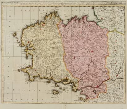
VALK, G. Praefectura Ducatus Britanniae.... - Lot 102 - Nouvelle Etude
VALK, G. Praefectura Ducatus Britanniae. Amsterdam, 1702. Nice old col. Side margins a little short. 490 x 600 mm.
First state of this map of Brittany. It shows the coast from Granville in the north to the island of Noirmoutier in the south. The map is coloured in yellow on the west for lower Brittany, in pink on the east for upper Brittany.
§ Copy reproduced in Cartes anciennes de la Bretagne 1582-1800, Pl. N° 31.
My orders
Sale information
Sales conditions
Return to catalogue