

Lot n° 154
Estimation :
100 - 150
EUR
Result with fees
Result
: 193EUR
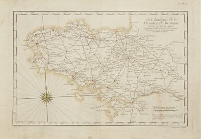
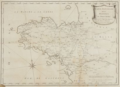
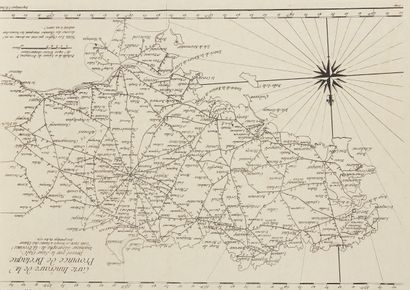
OGEE. Map of the Province of Brittany. Nantes, 1768. Black a - Lot 154
OGEE. Map of the Province of Brittany. Nantes, 1768. Black and white. Three maps: One map in canvas segments + one in poor condition + 1771 edition. 350 x 500 mm.
Three itinerary maps of Brittany, 2 dated 1768 and one by the author dated 1771. Decorated with a wind rose.
§ Copy reproduced in Cartes anciennes de la Bretagne 1582-1800, Pl. N°57.
My orders
Sale information
Sales conditions
Return to catalogue