
Lot n° 202
Estimation :
100 - 200
EUR
Result with fees
Result
: 103EUR
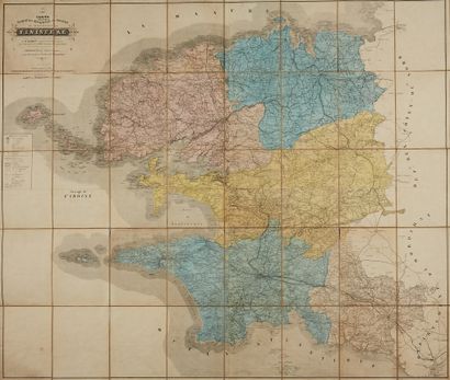
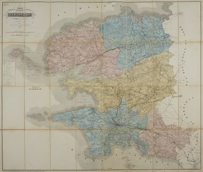
TACONNET. Route, topographic, hydrographic... - Lot 202 - Nouvelle Etude
TACONNET. Route, topographic, hydrographic and statistical map of the department of Finistère. Rennes, Oberthur fils, 1849/1869. Lithograph in colours. 32 segment folded map. 2 copies. 1020 x 1190 mm.
Map drawn in 1849, by the care and under the direction of M.Taconnet, Chief Surveyor of the Cadastre. The marine part was taken from the maps of Mr. Beautemps-Beaupré.
Joint: same map at the date of 1863.
My orders
Sale information
Sales conditions
Return to catalogue