
Lot n° 211
Estimation :
50 - 100
EUR
Result with fees
Result
: 232EUR
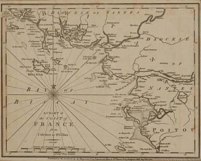
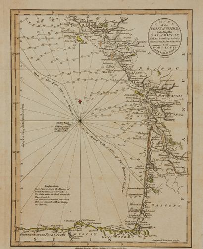
CARY, J. A chart of the coast of France from... - Lot 211 - Nouvelle Etude
CARY, J. A chart of the coast of France from l'Orient to St. Gilles / Chart... includingthe Bay of Biscay. London, 1780/1882. Black and white. Yellowed paper. Attached. ZANNONI. Brittany (+ title and odographic map). Boundaries in old col. Fading. 182 x 233 mm.
A reduced copy of Jefferys' map (1761), published by Macgowan on 26 August 1780.
§ Copy reproduced in Ancient Seascapes of Brittany 1580-1800, Pl. No. 71.
My orders
Sale information
Sales conditions
Return to catalogue