
Lot n° 214
Estimation :
100 - 300
EUR
Result with fees
Result
: 142EUR
CHARLE, Jean Baptiste Louis. Road map of... - Lot 214 - Nouvelle Etude
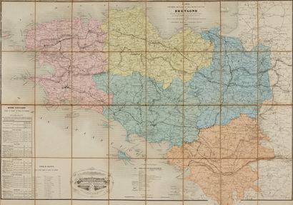
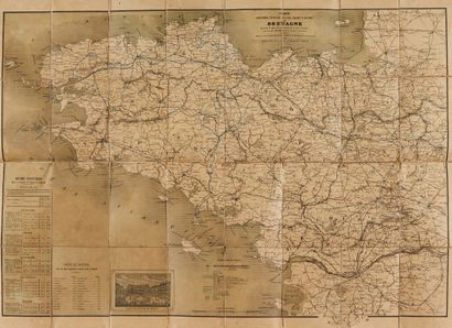
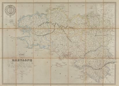
CHARLE, Jean Baptiste Louis. Road map of Brittany. Paris, ca. 1837/45. Boundaries in old col. Three folding maps: 1 canvas, 1 under cardboard cover, 1 printed on cloth. Joint: 7 folding maps. 585 x 870 mm.
The road map is surrounded by vignettes showing cities and monuments of Brittany (3 ex.). Joint: a set of folding maps: Bretagne by Diard, 1867 (2 ex.); Map of the Loire Inférieure by Castaignet, 1850; Map of Brittany by Logerot, 1858 (2 ex.); Map of the Railways of France by Logerot, 1858; Hydrographic Map of France (N-W), 1828.
My orders
Sale information
Sales conditions
Return to catalogue